Grobbendonk (BE)
LOCATION + COORDINATES
Grobbendonk (BE)
Fen restoration: 51.190007, 4.702368 decimal coordinates
Heathland restoration: 51.188085, 4.693703 decimal coordinates
CATEGORY
Demonstration sites for permanent natural water retention
Demonstration sites for infiltration restoration through forest conversion
DESCRIPTION SITE
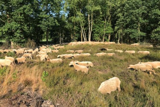
The Grobbendonk site, is part of a 70 ha forest, near a drink water abstraction site of Pidpa. The site containing fen relicts, heathland relicts, recently restored heathland and conifer plantations lie within the catchment of the river Nete. Pine tree plantations previously served the now shut down mining industry. To maximise the infiltration capacity of the Grobbendonk abstraction site, Pidpa will restore the fen to its original size (Ferraris map of 1771), shape and condition, in collaboration with Regionaal Landschap Kleine en Grote Nete. The restored fen will store more water and allow slow release of the water to the underground throughout the year (buffering against drought spells). Where suitable for infiltration, Pidpa will also convert pine plantation to heathland, a European target habitat, historically present in the area. The high interception pine plantations have a low infiltration capacity, compared to the ecologically valuable and low interception heathland.
MEASURES
Restore the fen to its original size, shape and condition
Convert pockets of high interception pine tree forest into low interception heathland

Timing
2019 - 2022
BUDGET
€ 354 855 in TOTAL for the Grobbendonk and Oostmalle investment sites
PARTNERS
Pidpa


