
Locatie
Resultaten
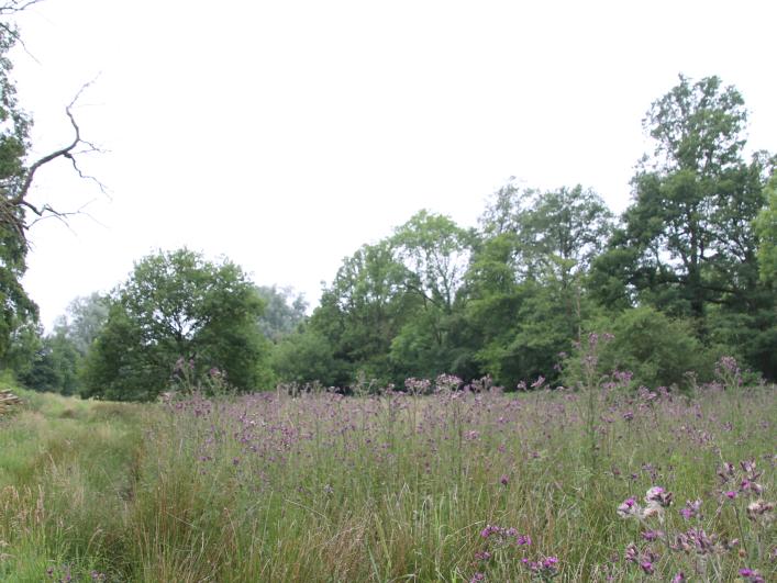
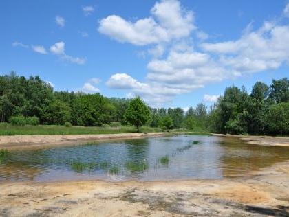
Oostmalle (BE)
LOCATION
Oostmalle (BE), privately owned land
CATEGORY
Demonstration sites for permanent natural water retention
Demonstration sites for temporal natural water retention
Lees meer
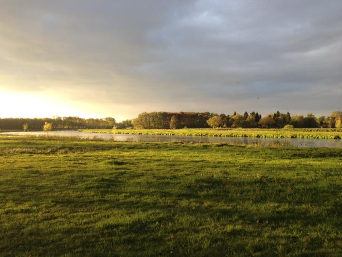
Vloeiweide (ND)
LOCATION + COORDINATES
South of the city of Breda (NL), between the city of Breda and the Belgian border.
Floodplain restoration : 51.545025, 4.708832 decimal coordinates
Lees meer

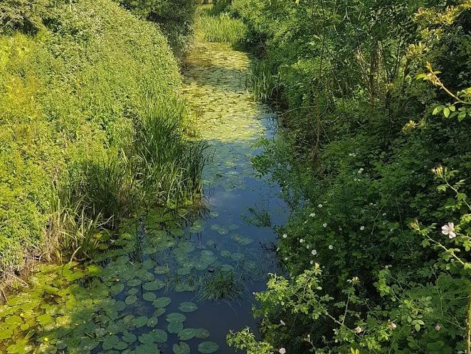
Scheppelijke Nete (BE)
LOCATION + COORDINATES
Gompeldijk, Mol (BE)
Floodplain restoration at 51.195402, 5.142085 decimal coordinates
CATEGORY
Demonstration sites for permanent natural water retention
Lees meer
River Beult (UK)
LOCATION + COORDINATES
Kent (UK), Beult catchment (part of the Medway catchment)
Temporary wetland restoration at Shadoxhurst (51.092342, 0.807818)
Remediation of soil degradation at Biddenden (51.118419, 0.657302)
Lees meer
West & East Devon (UK)
LOCATION + COORDINATES
Devon & Cornwall (UK)
Remediation soil compaction through treeplanting at 50.687224, -3.3394509 decimal coordinates
Remediation soil compaction through treeplanting at 50.669857, -3.3030687 decimal coordinates
Lees meer
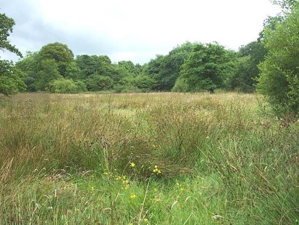
Visbeekvallei (BE)
LOCATION + COORDINATES
Berzegem, Lille (B)
Wet grassland restoration & heathland restoration at 51.276194, 4.807639 decimal coordinates
Wet grassland restoration at 51.240611, 4.789639 decimal coordinates
Lees meer