
Locatie
Resultaten
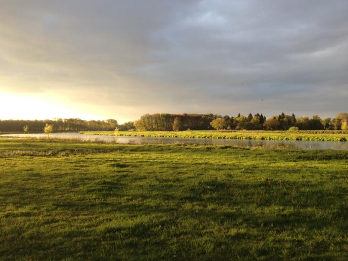
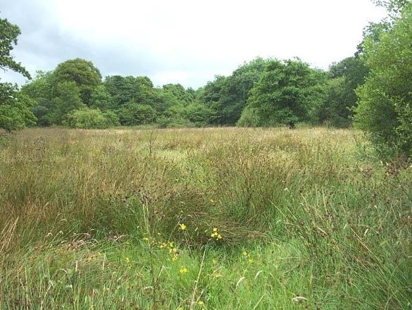
Vloeiweide (ND)
LOCATION + COORDINATES
South of the city of Breda (NL), between the city of Breda and the Belgian border.
Floodplain restoration : 51.545025, 4.708832 decimal coordinates
Lees meer
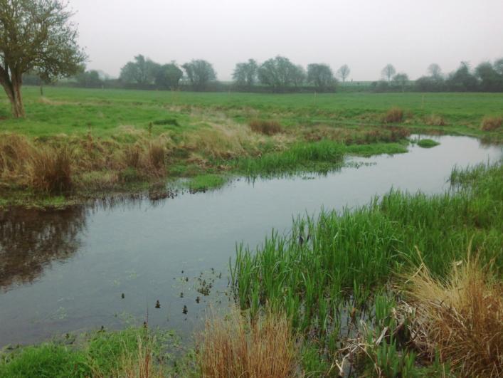
Little Stour (UK)
LOCATION + COORDINATES
North East of Kent (UK), Little Stour catchment (part of the Wingham catchment), Part of the East Kent Chalk area (groundwater catchment)
Remediation of soil degradation at 51.183719, 1.185578 decimal coordinates
Lees meer
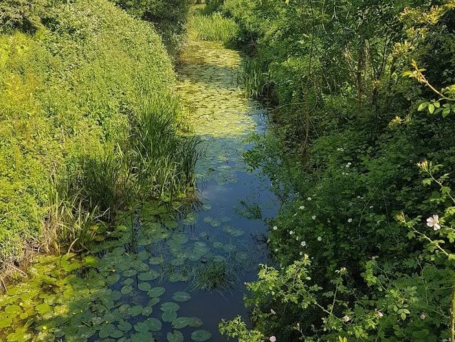
River Beult (UK)
LOCATION + COORDINATES
Kent (UK), Beult catchment (part of the Medway catchment)
Temporary wetland restoration at Shadoxhurst (51.092342, 0.807818)
Remediation of soil degradation at Biddenden (51.118419, 0.657302)
Lees meer
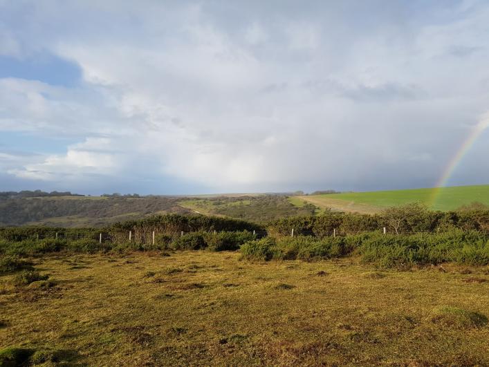
Friston Forest (UK)
LOCATION + COORDINATES
Eastbourne (UK) , Eastbourne Chalk aquifer
Chalk grassland restoration at Wilmington Downs (50.796428, 0.181419)
Heathland restoration at Lullington Heath (50.795069, 0.195033)
Lees meer
West & East Devon (UK)
LOCATION + COORDINATES
Devon & Cornwall (UK)
Remediation soil compaction through treeplanting at 50.687224, -3.3394509 decimal coordinates
Remediation soil compaction through treeplanting at 50.669857, -3.3030687 decimal coordinates
Lees meer