
Locatie
Resultaten
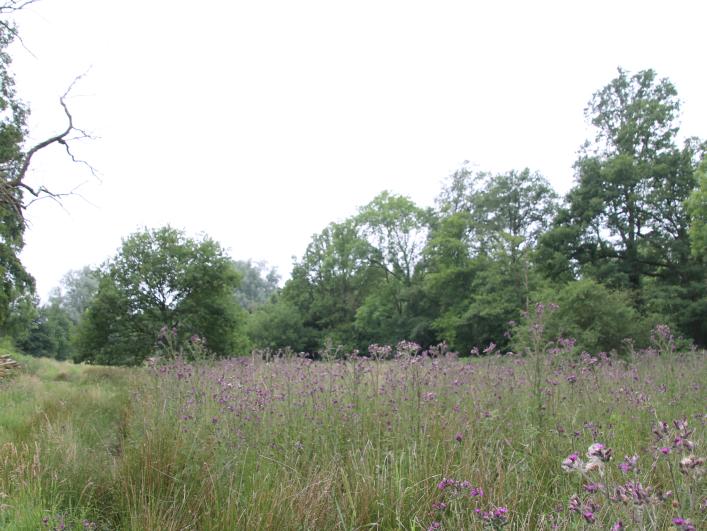
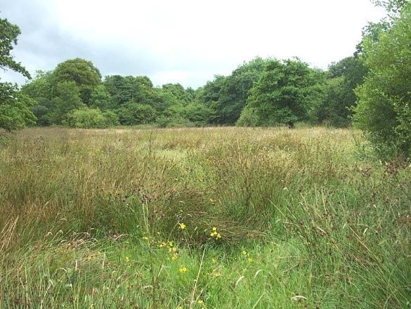
Oostmalle (BE)
LOCATION
Oostmalle (BE), privately owned land
CATEGORY
Demonstration sites for permanent natural water retention
Demonstration sites for temporal natural water retention
Lees meer
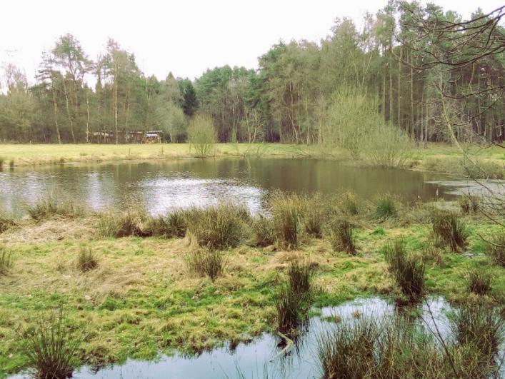
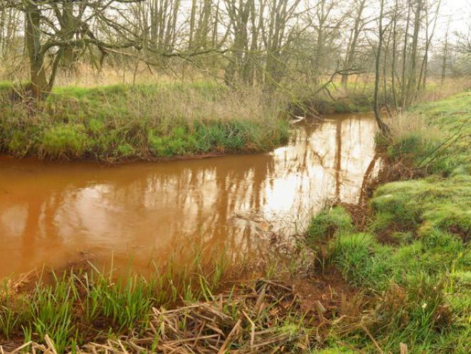
Grobbendonk (BE)
LOCATION + COORDINATES
Grobbendonk (BE)
Fen restoration: 51.190007, 4.702368 decimal coordinates
Heathland restoration: 51.188085, 4.693703 decimal coordinates
CATEGORY
Demonstration sites for permanent natural water retention
Lees meer
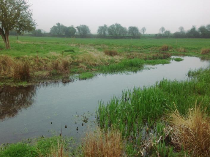
Little Stour (UK)
LOCATION + COORDINATES
North East of Kent (UK), Little Stour catchment (part of the Wingham catchment), Part of the East Kent Chalk area (groundwater catchment)
Remediation of soil degradation at 51.183719, 1.185578 decimal coordinates
Lees meer
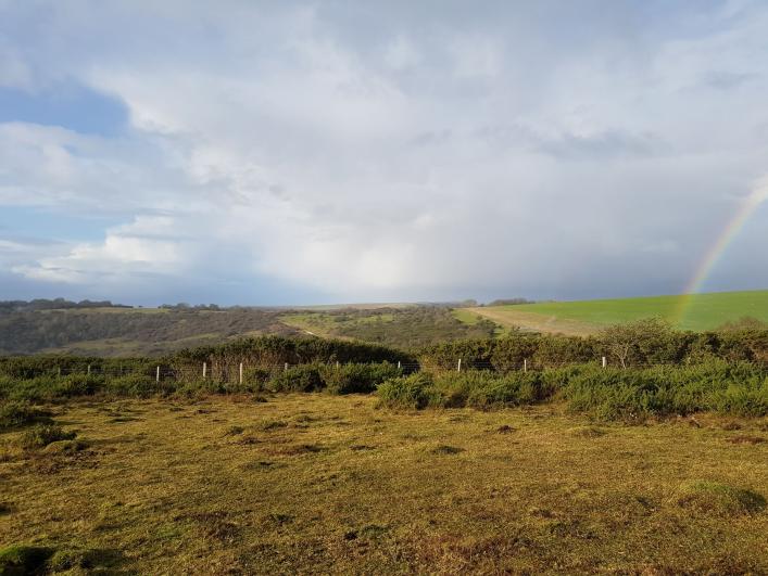
Friston Forest (UK)
LOCATION + COORDINATES
Eastbourne (UK) , Eastbourne Chalk aquifer
Chalk grassland restoration at Wilmington Downs (50.796428, 0.181419)
Heathland restoration at Lullington Heath (50.795069, 0.195033)
Lees meer
West & East Devon (UK)
LOCATION + COORDINATES
Devon & Cornwall (UK)
Remediation soil compaction through treeplanting at 50.687224, -3.3394509 decimal coordinates
Remediation soil compaction through treeplanting at 50.669857, -3.3030687 decimal coordinates
Lees meer
Griesbroek (BE)
LOCATION + COORDINATES
Olmen, Balen (BE)
Heathland & deciduous forest restoration at 51.150333, 5.134222 decimal coordinates
Deciduous forest restoration 51.151639, 5.141083 decimal coordinates
Lees meer

Heiberg (BE)
LOCATION + COORDINATES
Lavendelweg, Herentals (BE)
Heathland restoration at 51.198861, 4.862500 decimal coordinates
Heathland restoration at 51.207083, 4.858222 decimal coordinates
Lees meer

Den Rooy (BE)
LOCATION + COORDINATES
Lage Rooy, Hoogstraten (BE)
Bog restoration at 51.462139, 4.812833 decimal coordinates
CATEGORY
Demonstration sites for infiltration restoration through forest conversion.
Lees meer